Photo Jocelyn De La Rosa
The 2025 group start is on 24th May at 8.30a.m.
Applications for 2025 accepted on 23rd November 2024 for 24hrs only.
Applications for 2025 accepted on 23rd November 2024 for 24hrs only.
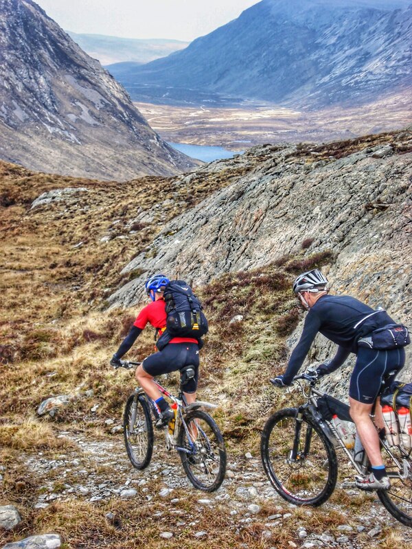
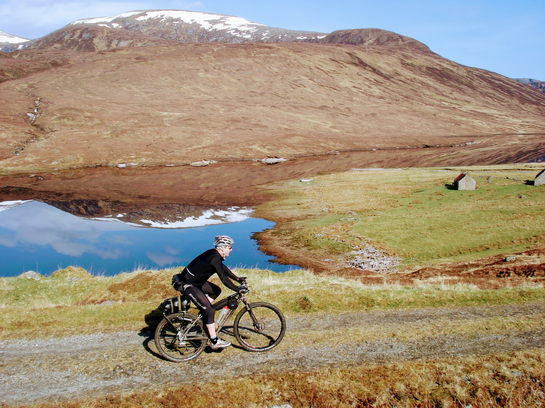
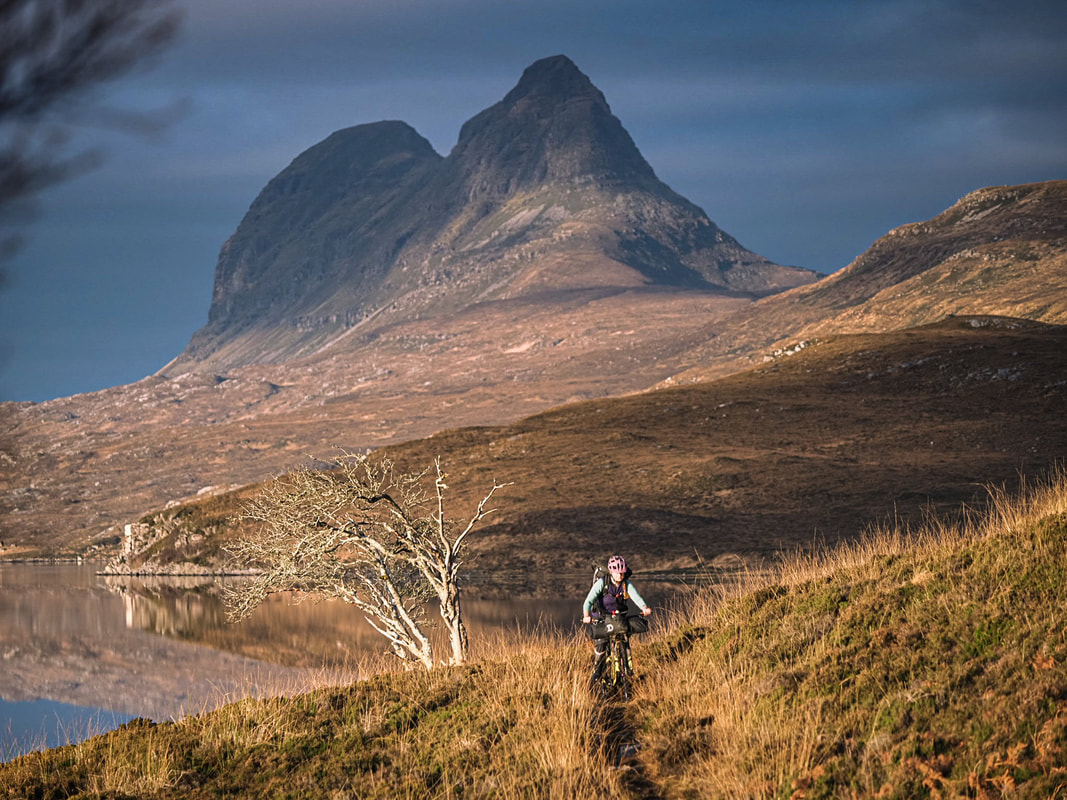
The Highland Trail is a self-supported mountain bike route 550 miles in length with over 16000m of climbing. It was inspired by events in the US like the Tour Divide and particularly the Colorado Trail Race (CTR). Initially put together as a simple training ride in preparation for the CTR, it became apparent that the great trails, beautiful scenery, remote wilderness, and fickle Scottish weather, offered a world class route for a self-supported challenge right here in UK. The majority of the route is on excellent trails and quiet roads, but includes some boggy and very technical sections. Everyone should expect some extended periods of hike-a-bike, even the best climbers and technical descenders will find plenty of terrain beyond their ability.
With the advent of GPS units, navigation is no longer a real challenge should you choose to use one. However if you do not use a GPS, make sure you are competent at navigating. Not all of the route is obvious. Even with a GPS unit you should be prepared for its failure, and carry a paper version of the route. Should you need to keep moving in limited visibility or darkness know how to find your way.
The suggested date for the group start is in late May but feel free to test and enjoy yourself on the route at another time. The ideal period is around late spring. However, even then expect up to four seasons in one day as you will be travelling through terrain between sea level and 800m.


